


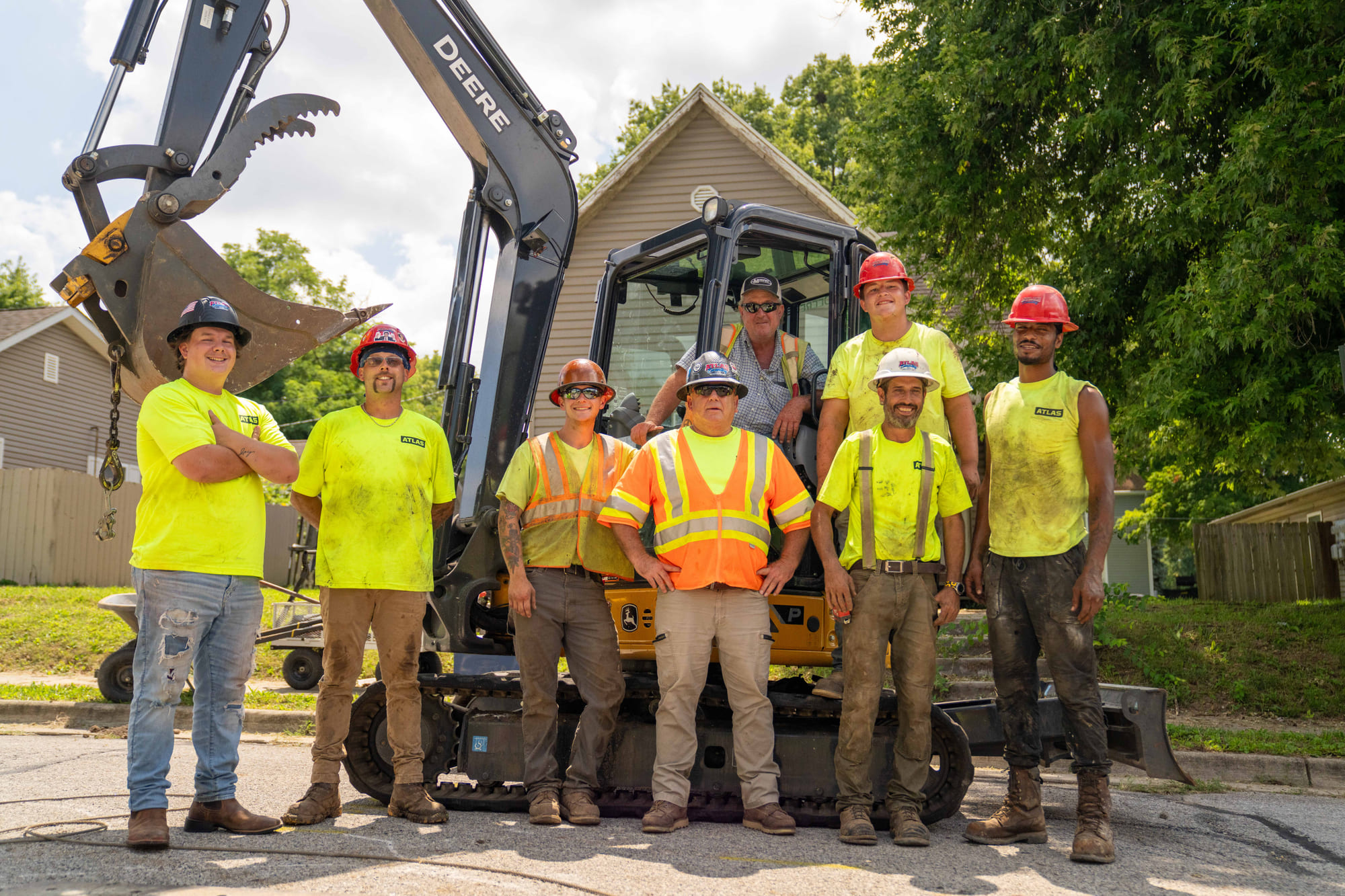

Unrivaled Precision
GPS SITE GRADING
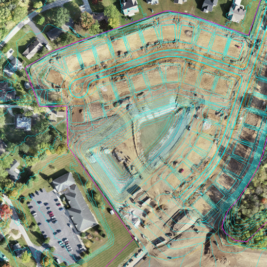
Drone Topography Surveys
We fly our own drones to capture existing topography, compare it to planned grades, and build accurate 3D models. By handling this work in-house, Atlas ensures every grading decision is backed by precise, current data.
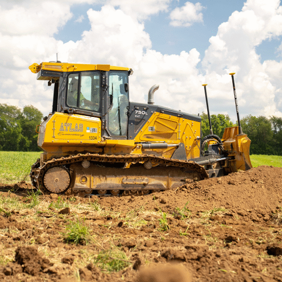
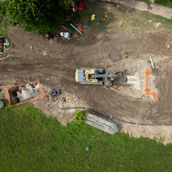
GPS Machine Control
Dozers and excavators run on our GPS grading system, reducing errors, cutting rework, and delivering consistent accuracy across the site.
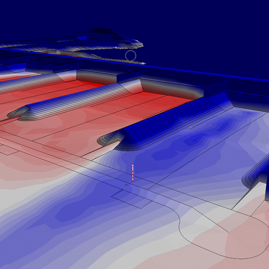
Model Building + Sequencing
Using AGTEK and Pix4D, our team builds accurate models that guide the sequence of work. From subdivisions to sports fields, we combine engineering insight with GPS controlled fine grading to get the job done right the first time.
Progress Monitoring + QC
We fly drones every other week to monitor progress and verify quality control. Foremen stay updated in real time, quantifying areas of cut and fill to ensure grading stays on schedule and matches the original design.
Client
Testimonial
